Fire return intervals in world northern forests
Map of estimated fire return intervals in forests north from the 40-th latitude
Authors: Alexey Yaroshenko, Ilona Zhuravleva
Published in December 2014
Citation: Yaroshenko, Alexey & Zhuravleva, Ilona. (2014). Fire return intervals in world northern forests.
What is the “Fire Return Interval”?
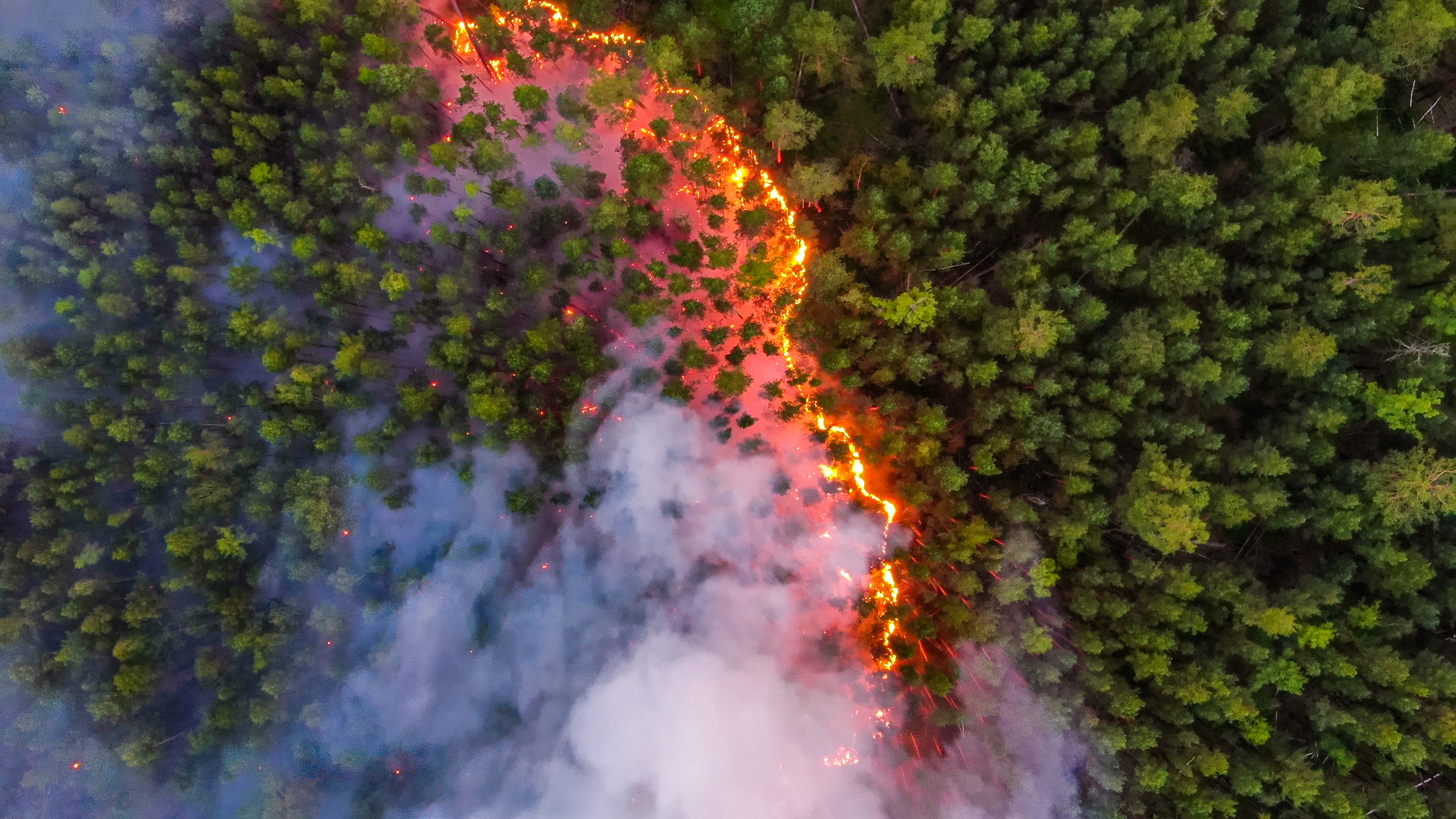
Northern forest landscapes to a large extent are formed by fires – both natural (caused by lightning) and man-made. Changes in forest management may reduce or expand the amount and scale of forest fires. Significant changes in the historically formed fire regime can considerably reduce the biological diversity and sustainability of forest ecosystems. These changes could be especially dangerous when they combine with other types of human impact like cutting, mining and fragmentation of forest landscapes.
The Fire Return Interval (hereinafter referred to as FRI) is an important integral indicator that reflects the role of fire in forest landscapes. It shows how soon in average fire returns to the same place, and is the inverse value to the average annual burned area.
There is no single fire return interval that is normal or typical for all northern forests. FRI varies widely depending on region, climate, forest types, historical and existing land use, infrastructure and accessibility of forests and many other natural and socio-economic reasons, and it changes over time. It may vary for different forest types combined in one landscape, and a «normal» FRI for large areas (like million hectares) depends on the proportion of these types.
However, extremely short fire return intervals (usually shorter than 25–50 years) for large forest areas can serve as an alarm signal meaning that the scale and frequency of forest fires has probably gone far beyond the range that has been typical for these forests over centuries. Too frequent fires may lead to irreversible changes in forest dynamics, biodiversity losses and other adverse impacts. Areas with low values of fire return intervals (with big probability of such unfavorable changes) are marked on map with shades of red.
Mapping methods and data sources
Modern methods of satellite based fire monitoring provide high accuracy mapping of burned areas (especially for large scale fires, that make major contribution to the total burned area). This map is based on the data of FIRMS1 system that records fire hotspots (temperature anomalies fixed with MODIS sensor of Terra and Aqua satellites) for the period of 2001-2013. The forest boundaries for the analysis and mapping have been taken from the MODIS Vegetation Continuous Fields.
Every map pixel reflects the fire return interval calculated for a circle with the area of 1 million hectares with the center in this pixel. Here Т is equal to thirteen years, А – to the area of forests (number of forest pixels) inside the circle and В – to the area of these forests that were burned (number of pixels where at least one fire hotspot was fixed during the Т time period).