Scientific Papers
Global Mapping Hub has been conducting environmental spatial research and publishing the results in scientific journals
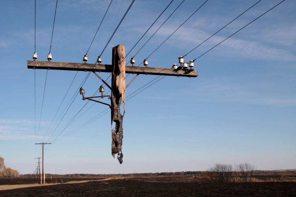
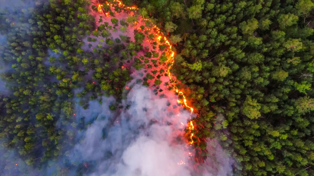
Spring fires in Russia: results from participatory burned area mapping with Sentinel-2 imagery
Human-induced fires play a crucial role in transforming landscapes and contributing to greenhouse gas emissions.
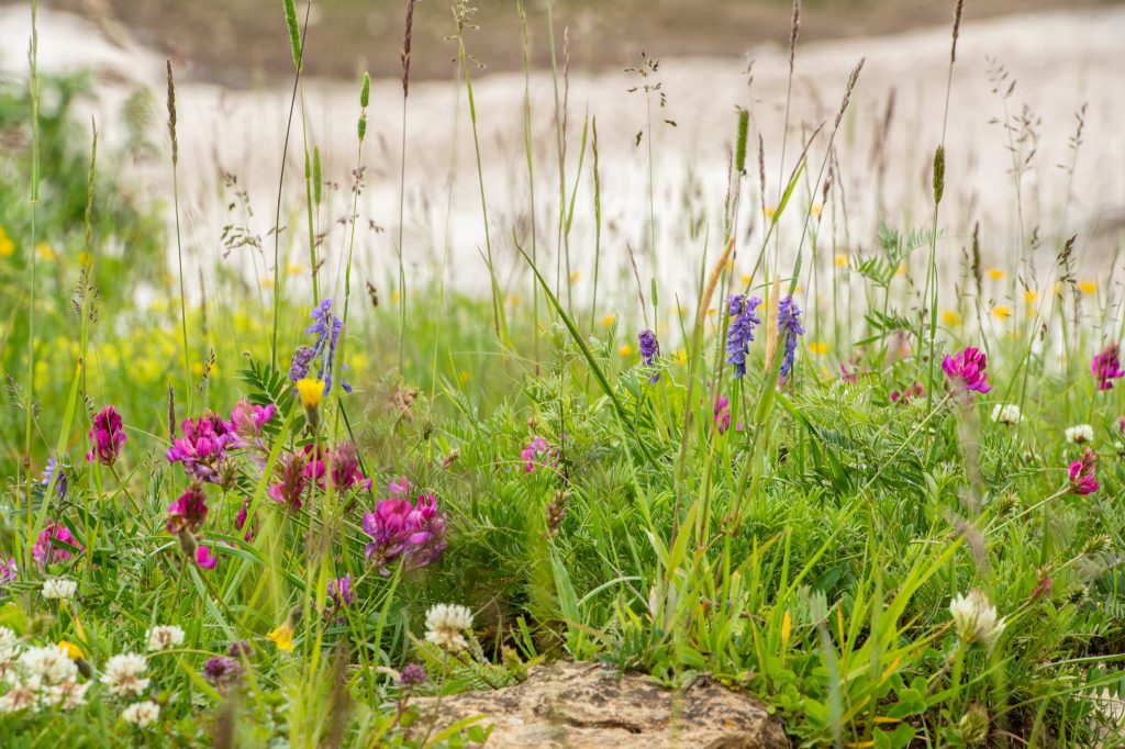
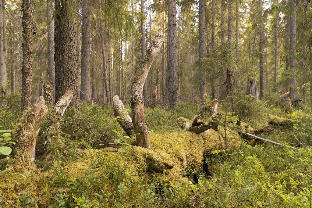
Mapping and spatial distribution analysis of herbaceous vegetation in the transition area of Polistovsky reserve
Meadows of the temperate zone are characterized by high biodiversity. Recently their area has been reduced as a result of land use change.
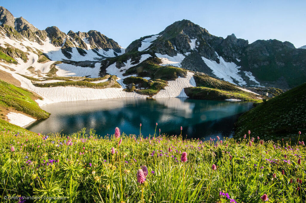
Land-cover change in the Caucasus Mountains since 1987 based on the topographic correction of multi-temporal Landsat composites
Mountainous regions are changing rapidly across the world due to both land-use change and climate change. Given the importance of mountainous regions for ecosystem services and endemic biodiversity, monitoring these changes is essential.
The last frontiers of wilderness: Tracking loss of intact forest landscapes from 2000 to 2013
Our results illustrate the need for planning and investment in biodiversity conservation efforts that target the most valuable remaining forests, as identified using the IFL approach.
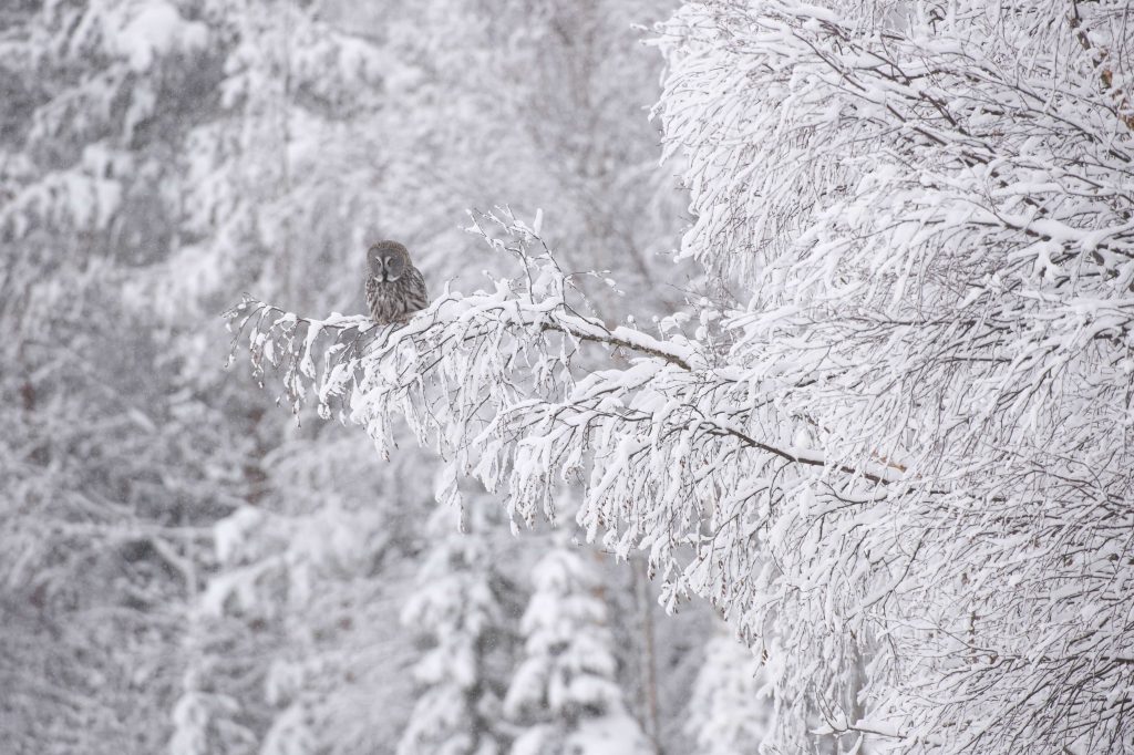
Stand Replacement Return Intervals in the Northern Forests in 2000-2013
We suggest SRRI indicator as an estimated average period of time during which each particular site would undergo a complete replacement of old forest stands by young ones.
Fire return intervals in world northern forests
Map of estimated fire return intervals in forests north from the 40-th latitude
Satellite-based primary forest degradation assessment in the Democratic Republic of the Congo, 2000–2010
Primary forest extent, loss and degradation within the DRC were quantified from 2000 to 2010 by combining directly mapped forest cover extent and loss data with indirectly mapped forest degradation data (intact forest landscapes).
Mapping and monitoring deforestation and forest degradation in Sumatra (Indonesia) using Landsat time series data sets from 1990 to 2010
Quantifying primary forest cover stand-replacement disturbance and degradation
Mapping the World’s Intact Forest Landscapes by Remote Sensing
The world IFL map presented here is intended to underpin the development of a general strategy for nature conservation at the global and regional scales.