Global Restricted Areas Map v2
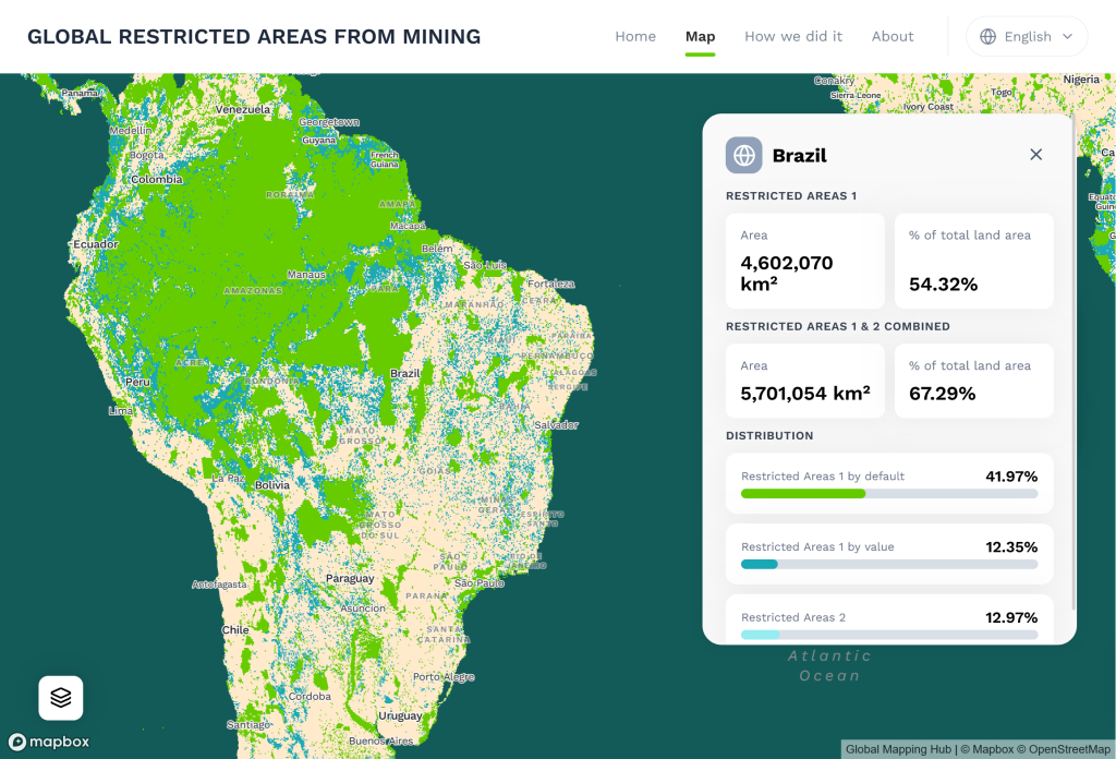
The Global Restricted Areas Map has been created by Greenpeace International, RFN, Mighty Earth and Fern to highlight areas with high ecological, natural and social values that should be off-limits to mining.
The Global Restricted Areas Map has been created by Greenpeace International, RFN, Mighty Earth and Fern to highlight areas with high ecological, natural and social values that should be off-limits to mining. Strong safeguards and demand- and supply-side policies are necessary in order to move the Earth’s trajectory to one that limits global average temperature rise to no more than 1.5°C while also respecting other crucial interconnected planetary boundaries as well as the rights of Indigenous Peoples and those of local communities.
Based on criteria considering climate impacts, biodiversity and nature, relevant spatial datasets have been identified which represent critical landscapes, protected areas, key biodiversity areas, ecosystems, carbon stocks and water bodies. Valid global spatial datasets fulfilled some criteria: reliable sources (scientific), open data, most up-to-date version, highest available spatial resolution and accuracy, and data format functionality (polygon, raster). Through an iterative process with involvement of a group of experts, the methodology was optimised to produce the current version of the Global Restricted Areas Map. Different types of Restricted Areas were defined: Restricted Areas requiring the Free Prior and Informed Consent of Indigenous Peoples or applicable local communities (RA-FPIC), areas that are off-limits to mining (RA1), and other areas with high natural values (RA2).