
About us
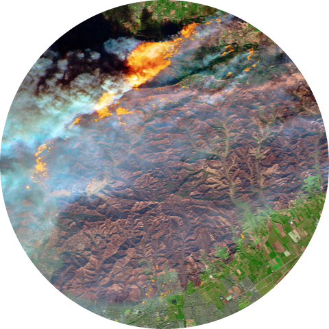
Technology
We explore and test state of the art developments, create and apply new mapping approaches
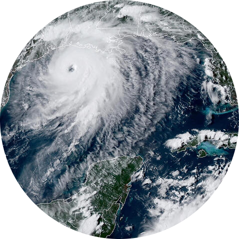
Integration
We accumulate best practices, resources, standards and integrate mapping tools into global projects
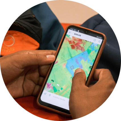
Community
We increase expertise, provide trainings, networking and support Greenpeace mappers
Projects
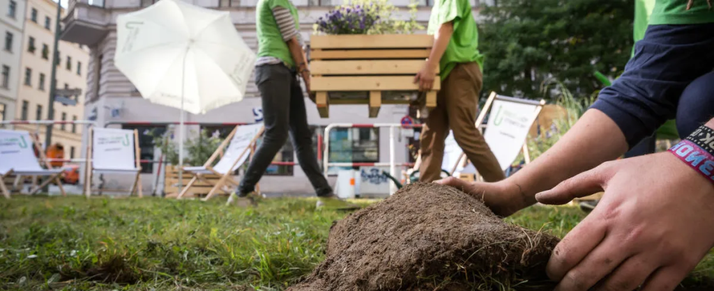
Cool our Cities! (Urban Nature)
This map enables users to mark the hottest areas in their town, city or region and suggest ways these spaces could be improved with vegetation.
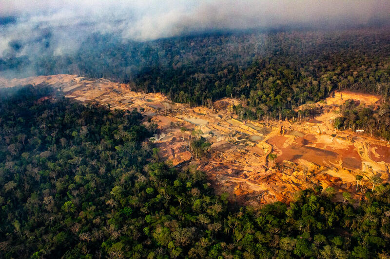
Global Restricted Areas Map v2
The Global Restricted Areas Map has been created by Greenpeace International, RFN, Mighty Earth and Fern to highlight areas with high ecological, natural and social values that should be off-limits to mining.
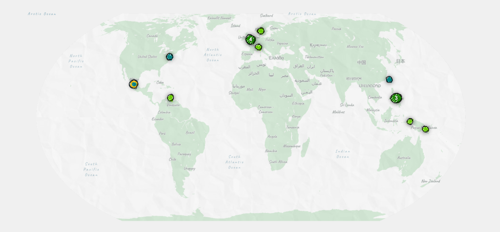
Just Poetry
Using poetry for climate justice
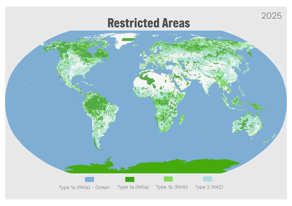
Global Restricted Areas Map
Identifying areas with high ecological, natural, and social values that should be off-limits to transition minerals mining
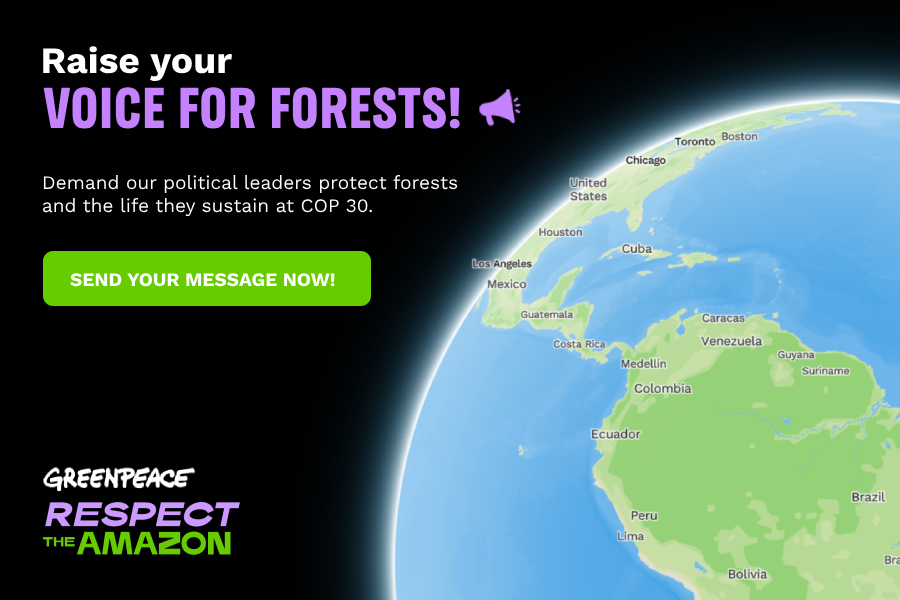
Raise your Voice for Forests
An interactive map empowering global supporters to call for urgent action against Amazon deforestation at COP30. Over 10,000 messages were delivered to world leaders, turning digital engagement into collective impact through thoughtful cognitive UX and hopeful design.
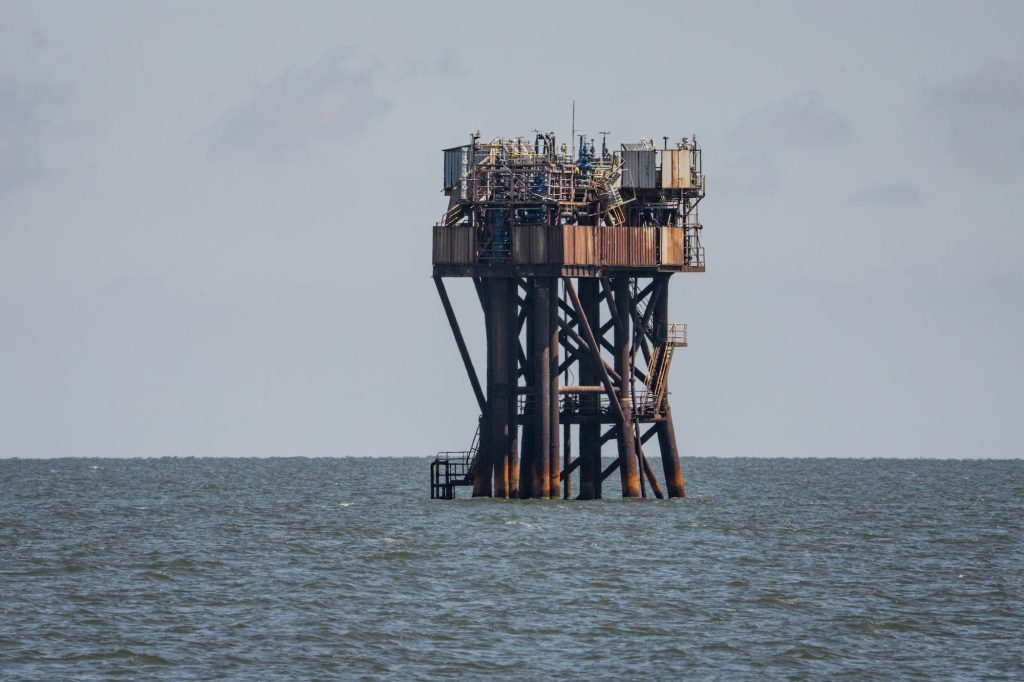
Oil pollution in the Black Sea
Most often, the slicks are due to discharged bilge water contaminated with oil, marine fuel, chemicals and heavy metals.
Scientific papers
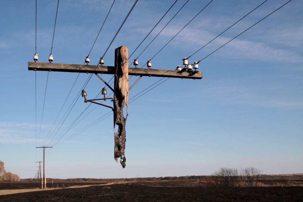
Spring fires in Russia: results from participatory burned area mapping with Sentinel-2 imagery
Human-induced fires play a crucial role in transforming landscapes and contributing to greenhouse gas emissions.
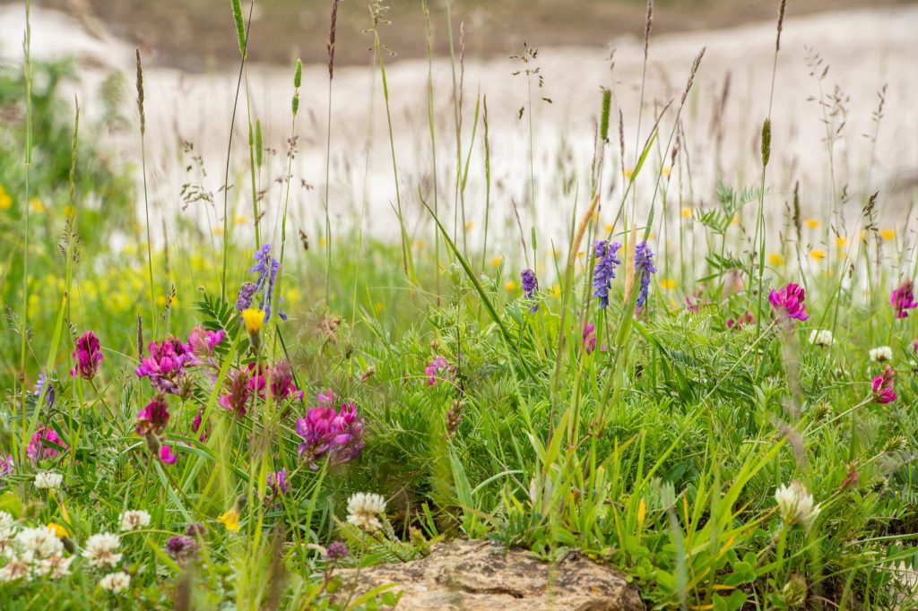
Mapping and spatial distribution analysis of herbaceous vegetation in the transition area of Polistovsky reserve
Meadows of the temperate zone are characterized by high biodiversity. Recently their area has been reduced as a result of land use change.
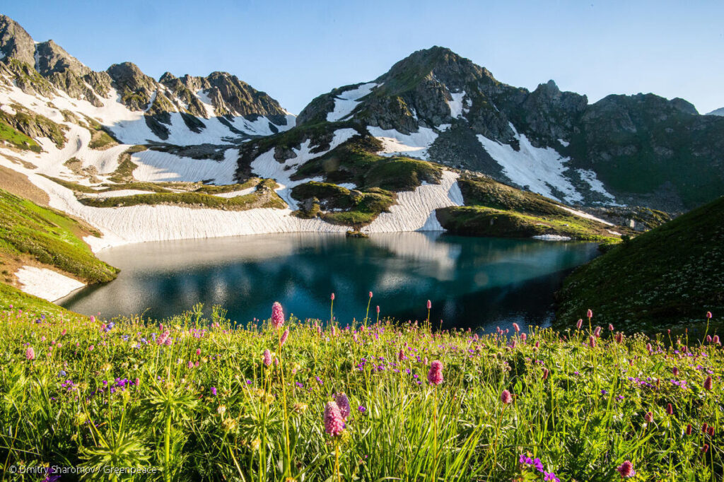
Land-cover change in the Caucasus Mountains since 1987 based on the topographic correction of multi-temporal Landsat composites
Mountainous regions are changing rapidly across the world due to both land-use change and climate change. Given the importance of mountainous regions for ecosystem services and endemic biodiversity, monitoring these changes is essential.
Contact us